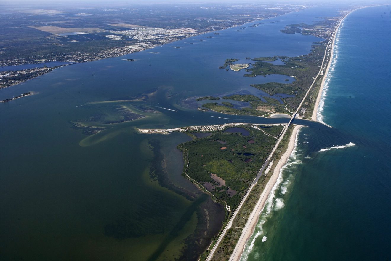
New Study of Sebastian Inlet Confirms Link Between Sea Level, Sand Volume
Enhanced Understanding Can Strengthen
Resource Management Along East Coast
MELBOURNE, FLA. — A new report that synthesizes decades of data on the hydrodynamic and meteorological forces at work at the Sebastian Inlet has linked seasonal and inter-annual sea level changes to changes in the sand volume contained in the adjacent beaches and nearshore littoral system. This finding could help enhance shoreline stabilization efforts and guide future development along Florida’s East Coast with an eye toward improved coastal resiliency.
Gary Zarillo, a professor in Florida Tech’s Department of Ocean Engineering and Marine Sciences who has been conducting research at the Inlet under a services contract with the Sebastian Inlet District, said that long-term collections of Inlet-related data, some of which go back to the 1950s, fueled the new findings.
Those findings include indications that periods of seasonal sea level rise correlate to cumulative sand volume losses, and seasonal falling sea level can be directly linked to sand volume gains. This is due largely to the flow and location of the Gulf Stream along the coast, which can produce a 3-foot or more rise and fall annually and upwards of a 20,000-cubic-yard variation in sand volume.
“No one was studying how seasonal sea level changes, linked to Gulf Stream dynamics and multi-year variations in sea level driven by a combination of processes, were affecting sand volume on our beaches,” Zarillo said. “This data can be employed by all coastal communities as part of coastal resiliency planning, so the reach is far broader than just our local area.”
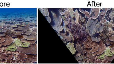
The research is included in the 2019 State of the Inlet report, which is now available at www.sitd.us. In addition to monitoring sea level changes, sediment transport and accumulation within the inlet system, the report also includes a shoreline change analysis.
The report is the product of a long-term coastal applied research agreement between Florida Tech and the District that dates to 2007. Data collected under the agreement and from related numerical modeling helps quantify sand volume within Inlet sand reservoirs as an aid to the District for effectively managing sand resources per its State mandate.
Multiple studies of Sebastian Inlet by Florida Tech and others have been generating useful information for decades.
Shorelines at the Inlet were tracked as far back as 1958. Topographic data has been collected since 1989. In 1993, with funding from the District, Florida Tech scientists installed a submerged wave gauge north of the Inlet, 1,500 feet offshore, to measure wave energy and currents. That information, along with data from the meteorological station at the tip of the Inlet’s North Jetty installed in 1997 and semi-annual hydrographic survey data collected by the District, all feed into the complex data analysis and modeling Zarillo and his graduate students use in their research.
“We are one of the most data-rich inlets on the East Coast of the U.S., and it’s important that we continue to collect this type of scientific data to refine District projects and the Sebastian Inlet District Commissions’ management of the inlet system,” said James Gray, executive director of the Sebastian Inlet District. “Sand is in constant motion. We know how sand moves through the system and at what volumes, and we have trends over a long-term period that allow us to be more effective in our work.”
The report also details Zarillo’s development of a new, real-time model application that will be able to forecast water levels and circulation 72 hours in advance, and will also include predictions of sand transport, salinity and water temperature. Model results will be updated daily and posted to a public website for general access.
All this information, and confirming the sea level-sand connection, is critical for a healthy future of the Inlet and beyond, Zarillo said.
“This facilitates better management of sand resources,” he said.
Celebrating 100 years since its inception, the Sebastian Inlet District was created in 1919 as an independent special district by an act of the Florida State Legislature and chartered to maintain the navigational channel between the Atlantic Ocean and the Indian River. Its responsibilities include state-mandated sand bypassing, erosion control, public safety in navigation and environmental protection. Straddling Brevard and Indian River counties, the Inlet generates an annual regional economic impact of $200 million, according to a 2013 independent analysis.
Known as the premier surfing, fishing, boating and recreational area on the east coast of Florida, the Inlet is one of only five navigable channels that connect the Indian River Lagoon to the Atlantic Ocean.
Learn more at http://www.sitd.us/.
###